Thinking about living where coffee, groceries, and parks are a short walk away? If you are eyeing Raleigh, several inside-the-beltline and midtown pockets deliver that urban feel without giving up neighborhood charm. In this guide, you will see how the city’s most walkable areas stack up on lifestyle, prices, housing types, and commutes so you can focus your search with confidence. Let’s dive in.
How walkability works in Raleigh
Walkability varies block by block. Address-level scores from Walk Score’s central Raleigh map show downtown blocks in the 80s, with surrounding historic districts trending a bit lower but still strong. Commutes are another factor. The citywide mean travel time sits around 23 minutes, according to Census Reporter’s Raleigh profile, though your specific route will vary by time of day. If you plan to ride instead of drive, downtown and nearby districts benefit from the free R-Line downtown circulator and GoRaleigh routes.
Downtown Raleigh
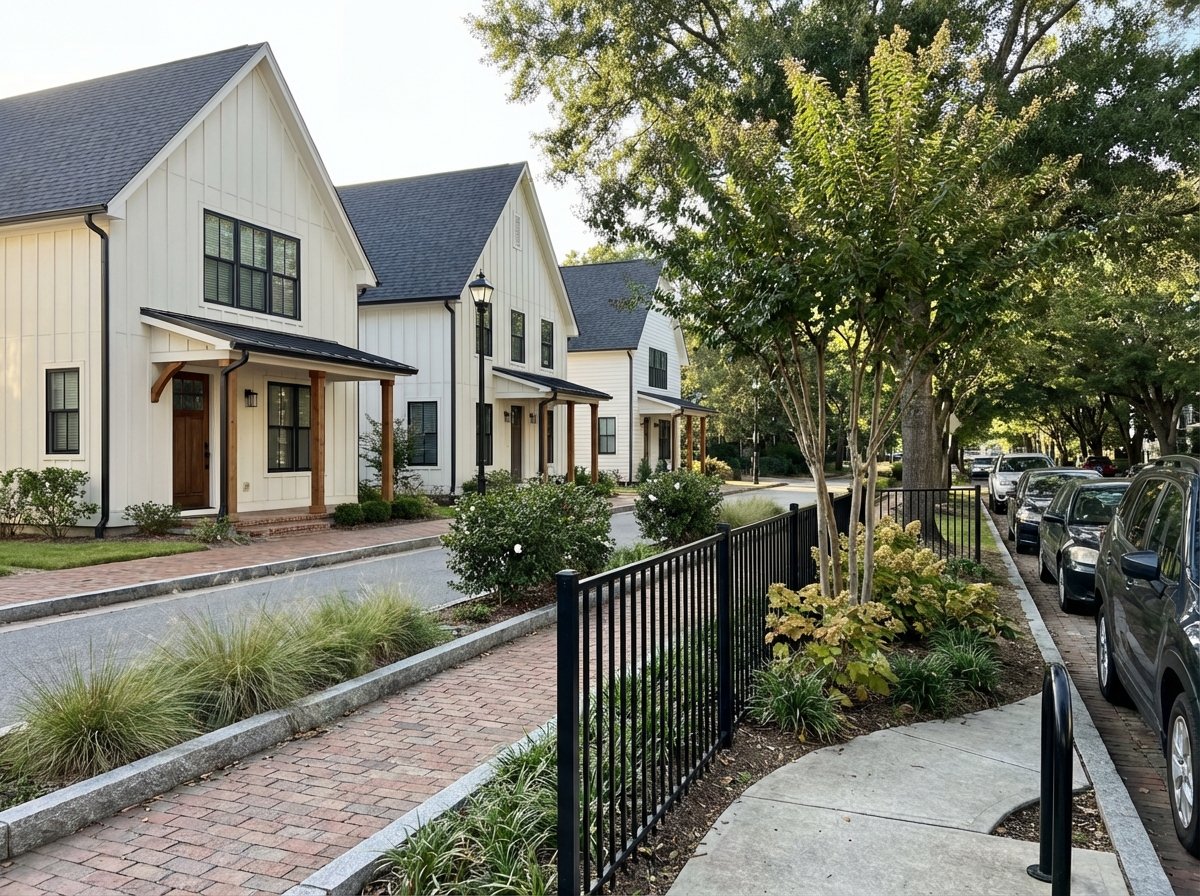
Downtown offers the highest day-to-day walkability, especially around the Warehouse District, City Market, and Fayetteville Street. You will find condos, apartments, lofts in former warehouses, newer mixed-use towers, and a few townhomes. Price snapshot: Redfin reports a median sale price near $440,000 as of January 2026.
If you work downtown, walking or biking is realistic from many buildings. For RTP, expect roughly 20 to 35 minutes by car depending on traffic. Dining and nightlife are dense, with restaurants and events clustered along Fayetteville and Hargett streets and in the Warehouse District.
Glenwood South
Glenwood South is one of Raleigh’s signature entertainment corridors, with frequent pedestrian activity and a high density of bars and restaurants. Housing skews toward apartments and condos along the main spine, with single-family homes on nearby blocks in Glenwood-Brooklyn. Price snapshot: Redfin’s neighborhood page shows a median around $600,000 in January 2026, though monthly samples can be small.
Walking to downtown employers is common from here, and the R-Line connects you to the core for quick hops. For a feel of the corridor’s vibe and dining scene, explore this detailed Glenwood South neighborhood guide.
Oakwood and Mordecai
Just east and northeast of downtown, Historic Oakwood and adjacent Mordecai offer a rare blend of tree-lined streets and walkability. Walk Score values typically land in the high 60s, and some blocks are within a short stroll of downtown. Price snapshot: neighborhood medians often range from the upper $600Ks into the $800Ks, depending on the subarea and whether you view sold or listing medians.
Architecture is the draw here. You will see Victorian, Queen Anne, Craftsman, and bungalow styles, much of it within local and National Register overlays recognized by the Raleigh Historic Development Commission. To get a sense of address-level convenience, start with Oakwood’s Walk Score page. Person Street concentrates cafés and small shops, and green spaces include Mordecai Historic Park with citywide greenway access only a short ride away.
Boylan Heights and Five Points
Boylan Heights sits on a bluff just southwest of downtown, with a compact grid, front porches, and sidewalks that connect into the core. Five Points is a collection of historic neighborhoods north of downtown with local shops and dining near the intersection. Price snapshot: Boylan Heights often trends in the low to mid $600Ks, while certain Five Points sub-neighborhoods, such as Hayes Barton, can exceed $1M.
From Boylan Heights, you can walk or bike to downtown and Dorothea Dix Park, one of Raleigh’s most important urban green spaces. Explore the park’s features and events on the Dorothea Dix Park page. Drive times to RTP from this cluster usually fall in the 20 to 30 minute range, depending on conditions.
North Hills Midtown
North Hills is Raleigh’s largest midtown live-work-play center. Inside the district, errands, dining, and entertainment are highly walkable, while the surrounding residential blocks lean more auto dependent. Price snapshot: Realtor reporting shows a median near $677,450 as of December 2025.
For RTP commuters, North Hills often shortens the drive relative to downtown thanks to quick access to I-440 and major corridors, with typical trips near the lower end of the 15 to 30 minute range. See a commute overview in this regional write-up on Triangle drive times. If you want walkability without being in the downtown core, North Hills is a strong compromise.
Village District
Formerly known as Cameron Village, the Village District is a long-established shopping and dining center with sidewalks, plazas, and frequent events. Surrounding streets include bungalows, mid-century homes, low-rise condos, and infill townhomes. Price snapshot: neighborhood medians vary by subarea and tend to be lower than the top historic ITB pockets but higher than the citywide average in many months.
If you value an easy walk to groceries, restaurants, and services, this area delivers a daily-convenience feel. Walkability scores often land in the high 60s to low 70s, which you can verify on the Village District Walk Score page. Drives are short to downtown and moderate to RTP.
Compare by lifestyle
Car-light daily living
- Best bets: Core Downtown and the immediate Glenwood South and Village District blocks. These pockets have the highest amenity density, plus the R-Line circulator and frequent bus routes.
Historic single-family character
- Best bets: Oakwood, Mordecai, Boylan Heights, and Five Points. Expect classic architectural styles in established districts, with pricing that reflects limited supply and historic overlays documented by the Raleigh Historic Development Commission.
Midtown walkability with faster RTP drive
- Best bet: North Hills. Inside the district you can walk to errands, and commutes to RTP often trend shorter due to direct highway access highlighted in regional drive time summaries.
Parks and greenways
- Central anchors like Dorothea Dix Park and Moore Square increase the utility of nearby neighborhoods. Plan your bike or run using the city’s BikeRaleigh and Capital Area Greenway map.
Build your short list
- Start with address-level walkability. Search the exact block on Walk Score and aim for a 3 to 5 property short list in one or two neighborhoods.
- Validate your commute. Test your route at your normal AM and PM hours. The citywide mean is about 23 minutes per Census Reporter, but traffic patterns vary.
- Match home type to your lifestyle. Downtown condos offer smaller footprints with building amenities. Historic single-family homes provide porches and yards, with maintenance to plan for.
- Check real, recent numbers. Vendor medians vary and change monthly. Look at multiple snapshots to understand trends, and compare sold prices alongside current listings.
- Map your outdoor routine. Review the BikeRaleigh and Greenway map to gauge your first and last mile to trailheads.
Ready to compare homes in these neighborhoods side by side, tour virtually, or pressure-test commute options with a local guide? Reach out to Ensemble Properties for a focused, data-informed search and a smooth, end-to-end buying experience.
FAQs
What makes a Raleigh neighborhood “walkable” for daily life?
- Address-level Walk Scores, sidewalk connectivity, grocery and dining density, and access to transit like the R-Line work together to reduce daily car trips.
How much do homes cost in walkable Raleigh areas today?
- Recent snapshots show downtown condos around $440K, Glenwood South near $600K, Oakwood and Mordecai in the upper $600Ks to $800Ks, and North Hills near $677K, with Five Points varying by subarea.
What are typical downtown-to-RTP commute times?
- Plan for roughly 20 to 35 minutes by car from central neighborhoods, with North Hills often on the lower end due to highway access. Always test at your drive times.
Which neighborhoods balance historic charm with walkability?
- Oakwood, Mordecai, Boylan Heights, and parts of Five Points offer historic homes and sidewalks within a short ride or walk of downtown amenities.
Where can I find parks and greenways near these areas?
- Dorothea Dix Park anchors the south side of downtown, with citywide routes shown on the BikeRaleigh and Capital Area Greenway map for runs and bike commutes.